
Transmitted data
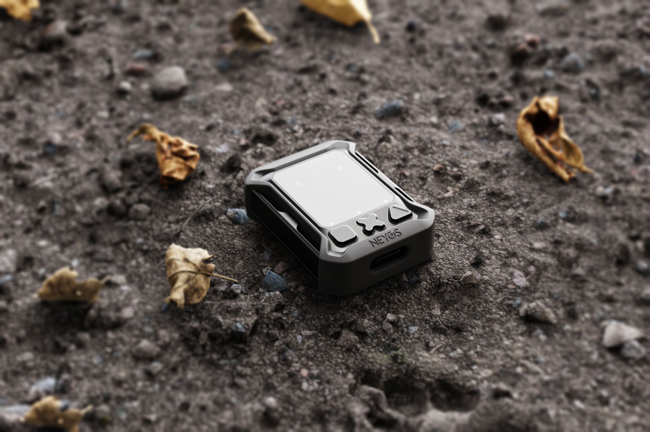
How does the OTRAC tracker work?
Your tracker communicates through structured messages containing timestamped elements. Each message groups:
- Contextual information (battery, temperature, network)
- Specialized elements (GPS points, events, configuration)
Everything is organized chronologically to optimize network transmission.
Where to view your messages?
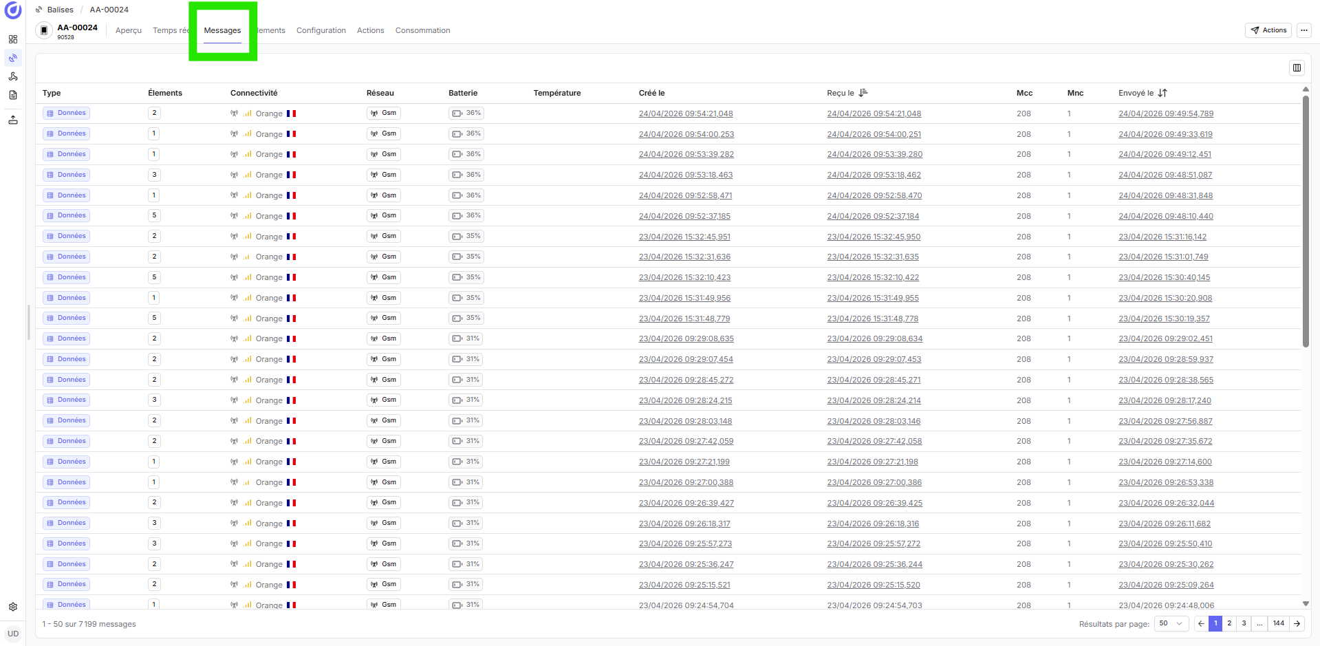
Your tracker's messages are accessible from the Neyos Platform:
- Go to Neyos Platform / Tracker / Tracker N°
- Open the Messages tab
- View the complete transmission history
What are messages composed of?
Each message transmitted by your tracker contains two types of information:
Tracker status
Automatically present in all messages to diagnose operation:
| Information | Example | Description |
|---|---|---|
| Battery | 85% | Remaining charge level (0-100%) |
| Temperature | 48°C | Internal module temperature |
| Network | Orange | Operator, network type (LTE-M/NB-IoT/SAT) and signal quality |
| Timestamp | 23/09/2025 13:27 | Message send date and time (UTC) |
Associated data
Timestamped data to track the activity and position of your tracker. There are two types of data:
GPS Points
Geolocated positions with movement data
Content:
- Coordinates (latitude, longitude, altitude)
- Instantaneous speed and heading
- GPS fix quality (2D/3D)
- Precise timestamp
Badge: Point
Events
State changes and detected actions
Content:
- Event type (button, shock, sleep...)
- Precise timestamp
- Associated GPS position (if available)
- Additional data
Badge: Event
GPS Points
A Point is a timestamped GPS acquisition containing the geographic position, movement data, and satellite signal quality. Each GPS acquisition records the following data:
| Field | Type | Description | Example |
|---|---|---|---|
| Latitude | Decimal (WGS84) | North-South coordinate | 48.8566 (Paris) |
| Longitude | Decimal (WGS84) | East-West coordinate | 2.3522 (Paris) |
| Altitude | Meters | Height above sea level | 35m |
| Speed | km/h | Instantaneous speed calculated by GNSS | 67 km/h |
| Heading | Degrees | Direction of movement (0-360°) | 245° (South-West) |
| GPS Fix | Enum | Positioning quality | No fix / 2D / 3D |
| Accuracy | Meters | Position error estimate (HDOP) | 5m (typical 3D accuracy) |
| Timestamp | ISO 8601 | UTC timestamp of acquisition | 2025-09-23T13:27:45Z |
GPS fix quality
The tracker indicates the quality of each GPS acquisition at three levels:
No fix
No visible satellite or signal too weak
Behavior: According to the GPS fix absence parameter, the tracker can:
- Skip: Do not record a point
- Last_known: Repeat the last valid position
Causes: Indoor, underground parking, tunnel
2D Fix
Horizontal positioning only (3 satellites)
Accuracy: > 5 meters (latitude/longitude only)
Causes: Weak GPS signal, dense urban environment, partial sky view
3D Fix
Complete positioning with altitude (4+ satellites)
Accuracy: 1-5 meters (latitude, longitude, altitude)
Recommended: Always prefer a 3D fix for critical measurements
Events
An Event signals a system state change or an action detected by the tracker. Each event is precisely timestamped and can be associated with a GPS position if the GNSS module was active at the time of triggering.
Complete list of events
The OTRAC tracker detects and transmits 29 event types organized into 8 categories.
System
| Icon | Event | Description |
|---|---|---|
| Event | Tracker power on | Tracker powered on |
| Event | Tracker power off | Tracker shutdown |
| Event | Command received | Reception of a remote command |
| Event | Command applied | Command executed, status codes returned |
| Event | Configuration | Configuration sent to the tracker |
| Event | Clock synchronization | Synchronization request with the server |
Sleep
| Icon | Event | Description |
|---|---|---|
| Event | Sleep mode enter | Switch to active sleep |
| Event | Sleep mode exit | Wake up after a sleep period |
| Event | Deep sleep enter | Switch to deep sleep |
| Event | Scheduled sleep | Sleep planned for a desired duration |
Buttons
| Icon | Event | Description |
|---|---|---|
| Event | Square button press | Validated press on button 1 (square) |
| Event | Cross button press | Validated press on button 2 (cross) |
| Event | Triangle button press | Validated press on button 3 (triangle) |
| Event | SOS alert | Button configured as SOS type, triggered on validated press |
| Event | Accident detected | Button configured as Accident type, triggered on validated press |
| Event | User confirmation | Button configured as User OK type, to confirm "all is well" |
Motion and impact
| Icon | Event | Description |
|---|---|---|
| Event | Shock detected | Impact detected by the accelerometer |
Battery and power
| Icon | Event | Description |
|---|---|---|
| Event | Low battery | Level below critical threshold |
| Event | Charging start | Connection to a power source |
| Event | Charging end | Charging cable disconnected |
| Event | Battery charged | Battery ≥ 99 % |
| Event | Battery error | I2C fail or init fail (debounce 3 polls) |
Geographical (geofencing)
| Icon | Event | Description |
|---|---|---|
| Event | Zone entry | Entry into a geofence zone |
| Event | Zone exit | Exit from a geofence zone |
| Event | Speeding in zone | Speed exceeded in a zone (slot + name + speed) |
Event characteristics
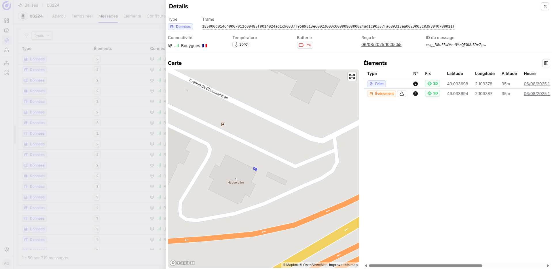
Each event has the following properties:
- Precise timestamp: UTC date and time of trigger (millisecond precision)
- Associated GPS position: If the GNSS module was active at the time of the event
- Additional data: Specific information depending on the event type (shock intensity, battery level, etc.)
- Visualization: Colored pictogram in the platform interface with badge Event
When is a message sent?
Messages are transmitted in two situations:
Periodic transmission
According to the interval configured for the active network
Parameters:
- Cellular send interval
- Satellite send interval
Usage: Normal mode, continuous tracking
Event-triggered transmission
Triggered immediately by a critical event
Triggering events:
- Button press,
- ...
Usage: Real-time alerts
Frequently asked questions
Possible causes and solutions:
- Tracker turned off:
- Check that the Power LED is on
- Press the ON/OFF button for 3 seconds
- No network coverage:
- Check the network coverage map
- Try moving the tracker outdoors or near a window
- Check network switching settings (LTE-M ↔ Satellite)
- Transmission interval too long:
- Check the
Send intervalsettings in the Configuration tab
- Check the
The tracker has a buffer memory of 30,000 elements maximum.
Operation:
- Elements (GPS Points, Events, Config) are stored locally in flash memory
- As soon as the network connection is restored, elements are automatically retransmitted
Beyond 30,000 elements:
- The oldest elements are overwritten (FIFO)
- A
buffer_overflowevent is generated
Technical reasons:
- Insufficient GNSS signal:
- Tracker indoors (building, underground parking, tunnel)
- Dense urban environment (canyon effect)
- Cold start:
- Time to first fix (TTFF): 30-45 seconds after power on
- The tracker may acquire before obtaining a complete fix
GPS fix absenceparameter:- Ignored (recommended): No point is recorded if no fix
- Last known position: Repeats the last valid position with
no_fixflag
What's next?
This understanding is essential to effectively leverage the information available in the platform and configure relevant alerts.
Recommended next steps:
- Configure your trackers → Adjust the Configuration according to your needs (acquisition frequency, transmission, networks)
- Update the firmware → Make sure you have the latest features
- Integrate with your tools → Configure Webhooks or use the Neyos API